Bible Atlas: A Manual of Biblical Geography and History

Bible Atlas: A Manual of Biblical Geography and History
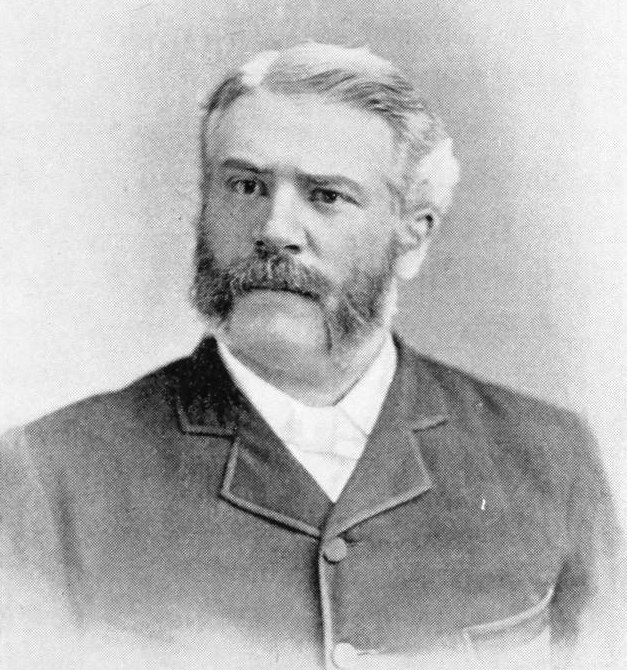
This atlas emerged from an era when rigorous geographic and historical scholarship began transforming biblical study. Hurlbut, a prominent Methodist educator, understood that to truly grasp the prophets, the journeys of Paul, or the geography of Jesus' ministry, readers needed to see these events anchored in real landscapes. The book provides precisely this: detailed maps, charts, and illustrated views that reconstruct the ancient world with careful attention to period accuracy. The introduction by Bishop John H. Vincent frames the project as essential, that without geographic knowledge, the Bible's narratives remain abstract, stripped of their earthly grounding. This is a working manual for teachers and serious students, one that transforms reading into visualization. Whether tracking Israel's tribal divisions, tracing Paul's missionary routes, or understanding why certain battles unfolded where they did, this atlas renders the text three-dimensional. It endures because maps don't merely illustrate scripture; they interpret it, revealing spatial logics that words alone cannot convey.
Editions
Link to this book
Add a free, dofollow link to Lex on your blog, forum, syllabus, or reading list.
<a href="https://lex-books.com/book/bible-atlas-a-manual-of-biblical-geography-and-history-6f018327-be71-490e-960b-007ea2d15016"><img src="https://lex-books.com/badges/read-on-lex.svg" alt="Read Bible Atlas: A Manual of Biblical Geography and History by Jesse Lyman Hurlbut free on Lex" width="160" height="40"></a>[](https://lex-books.com/book/bible-atlas-a-manual-of-biblical-geography-and-history-6f018327-be71-490e-960b-007ea2d15016)[url=https://lex-books.com/book/bible-atlas-a-manual-of-biblical-geography-and-history-6f018327-be71-490e-960b-007ea2d15016][img]https://lex-books.com/badges/read-on-lex.svg[/img][/url]Read Bible Atlas: A Manual of Biblical Geography and History by Jesse Lyman Hurlbut free on Lex: https://lex-books.com/book/bible-atlas-a-manual-of-biblical-geography-and-history-6f018327-be71-490e-960b-007ea2d15016Cite this book
Reading this edition for a paper or guide? Copy a citation.
Hurlbut, Jesse Lyman. Bible Atlas: A Manual of Biblical Geography and History. Lex, lex-books.com/book/bible-atlas-a-manual-of-biblical-geography-and-history-6f018327-be71-490e-960b-007ea2d15016.Hurlbut, J. L. (n.d.). Bible Atlas: A Manual of Biblical Geography and History. Lex. https://lex-books.com/book/bible-atlas-a-manual-of-biblical-geography-and-history-6f018327-be71-490e-960b-007ea2d15016Hurlbut, Jesse Lyman. Bible Atlas: A Manual of Biblical Geography and History. Lex. https://lex-books.com/book/bible-atlas-a-manual-of-biblical-geography-and-history-6f018327-be71-490e-960b-007ea2d15016.