Great Britain. Ordnance Survey
78 works on record
Works
Map of Roman Britain
The Lake District

Ordnance Survey road atlas of Great Britain

Domesday book, or, The great survey of England of William the Conqueror A.D. MLXXXVI

West Yorkshire

South Essex

West Sussex
Somerset
Forest of Dean and Wye Valley

Domesday Book
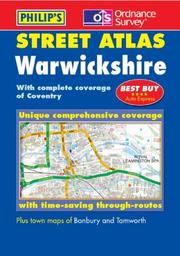
Warwickshire

Catalogue Of The Maps And Plans And Other Publications Of The Ordnance Survey Of Ireland
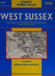
West Sussex street atlas

Area Book and Book Of Reference to the Plan Of the Parish Of
Catalogue of the maps and plans and other publications of the Ordnance Survey of England and Wales, and the Isle of Man, to 1st January 1894 ...

Book Of Reference To The Plan Of The Parish Of
Domesday book, or, The great survey of England of William the Conqueror, A.D. MLXXXVI

East Sussex
North Essex
Norfolk

East Kent
Wiltshire
Gloucestershire
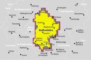
Bedfordshire
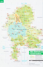
Staffs

Notts

Cheshire
ABC London street atlas
The Peak District
County street atlas Herts
ABC London atlas
York andthe Moors
East Sussex street atlas
Ordnance Survey--South Devon and Dartmoor
Map of Britain in the Dark Ages
The history of the retriangulation of Great Britain, 1935-1962
Ordnance Survey map of Roman Britain
Old Series Ordnance Survey Maps of England and Wales, Scale : 1 Inch to 1 Mile
Report of the Ordnance Survey Commission, together with Minutes of Evidence and Appendix
Ordnance survey of Great Britain; Scotland
Ordnance survey of Ireland
Ordnance survey of Great Britain; England and Wales
An account of the measurement of the Lough Foyle base in Ireland
Britain before the Norman Conquest
A description of Ordnance Survey medium scale maps
A description of the Ordnance Survey small-scale maps
Catalogue of the 6-inch and 25-inch maps and town plans of Scotland and of the one-inch and smaller scale maps
Catalogue of the 6-inch and 25-inch county maps and town plans of the Ordnance survey of England and Wales, and the Isle of Man, to 1st January, 1902 ...
Domesday book, or the great survey of England of William the Conqueror A.D. MLXXXVI ... relating to Herts
An outline of the history and revision of 25-inch Ordnance survey plans
Account of the methods and processes adopted for the production of the maps of the Ordnance Survey of the United Kingdom drawn up by officers of the Royal Engineers employed under Sir Henry James
Map of South Wales
Catalogue of the 6-inch and 25-inch maps and town plans of England and Wales and the Isle of Man
Catalogue of the 6-inch and 25-inch maps and town plans of Ireland
A description of Ordnance Survey small scale maps
Ordnance trigonometrical survey of Great Britain and Ireland
Lincolnshire, Rutland, and East Anglia
Extension of the triangulation of the Ordnance survey into France and Belgium ...
Determination of the positions of Feaghmain and Haverfordwest
Letters containing information relative to the antiquities of the county of Carlow
Roman Britain
Gazetteer of Great Britain
[Domesday book, or, The great survey of England of William the Conqueror A.D. MLXXXVI]
Report of the progress of the Ordnance Survey for the financial year 1st April, 1934 to 31st March, 1935
Ordnance Survey, [Grosvenor Square, London, and vicinity]
Abstracts of the principal lines of spirit levelling in England and Wales
Map of Neolithic Wessex showing the distribution of long barrows, circles, habitation sites, flint mimes ...
Letters containing information relative to the antiquities of the county of Waterford, collected during the progress of the Ordnance survey in 1841
Map of Southern Britain in the Iron Age
Letters containing information relative to the antiquities of the County of Wexford, collected during the progress of the Ordnance Survey in 1840
Price list of Ordnance Survey publications
Letters containing information relative to the antiquities of the county of Galway, collected during the progress of the Ordnance survey in 1839
Ordnance survey motoring atlas
Letters containing information relative to the antiquities of the county of Sligo, collected during the progress of the Ordnance survey in 1836
Letters containing information relative to the antiquities of the county of Meath, collected during the progress of the Ordnance survey in 1836
Catalogue of the maps and plans and other publications of the Ordnance Survey of England and Wales, and the Isle of Man, to 1st Jan. 1895
Catalogue of the 6-inch and 25-inch county maps and town plans of England, Wales, and the Isle of Man, and of the 1-inch and smaller scale maps, and other publications of the survey
Catalogue of the maps and plans and other publications of the Ordnance Survey of Scotland to 1st Feb. 1884