Freytag, Berndt und Artaria.
98 works on record
Works
Austria Map
1982
Carinthia
Costa Del Sol, Spain
Italian Riviera
Bulgarian Black Sea Coast
Mallorca (Country Road & Touring)
Iceland Road Map (Country Road & Touring)
Minorca Road Map (Country Road & Touring)

USA/Canada/Mexico Road Atlas
Kos Map
Hungary Super Touring Atlas

Poland
India, Bangladesh, Nepal, Bhutan, and Sri Lanka (Road Map)

Spain-Portugal Super Atlas
Gulf of Naples, Italy
Libya
Iraq-Iran-Kuwait-Dubai-United Arab Emirates
Czech Republic
Slovenia Atlas
Asia Road Map
Czech Republic Atlas
Elba
Mauritius
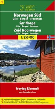
Southern Norway
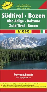
Southern Tyrol (Tirol), Bolzano
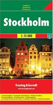
Stockholm
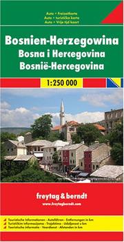
Bosnia-Herzegovina Map (Country Road & Touring)
Japan
Central Europe Road Map (Country Road & Touring)
Northern Adriatic Sea, Italy

Wien
Slovenia

Bodensee

Tauern Radstadt-Dachstein 50K Schladminger Tauern Radstadt-Dachstein 50K (German Edition)
Riesenstädteatlas Grossraum Wien 1:15 000

Azores (English, Spanish, French, Italian and German Edition)

Hiking Maps of the South Tyrol: Sterzing (Vipiteno), Jaufenpass (Passi Di Giovo), Brixen (Bressanone) (English, Italian and German Edition)
Atlas Österreich
Slovenská republika =

Voralpen Zillertal-Tuxer Voralpen (Walking Maps)

Romania SuperAtlas (German and English Edition)
Czechoslovakia road map
Városatlasz Budapest =

Afghanistan

Israel, Palästina, Heiliges Land 1 : 150 000 : ... by Freytag, Berndt und Artaria. Israel, Palästina, Heiliges Land 1 : 150 000 : Auto + Freizeitkarte ... Heilige Land

Sheet 12, Schleswig-Holstein/Hamburg

Peloponnese

Kenya / Tanzania / Uganda FB 1
Touring in Austria
Yugoslavia Map
Wander Atlas Wienerwald
Kos - Samos - Ikaria

Innsbruck, Austria Map
Middle East Map

Prague, Czech Republic
Sarajevo Map

Mediterranean Sea
Budapest, Hungary

East Africa Road Map
Algarve, Portugal Map
Linz Street Map
Oslo

Dublin
Venice, Italy Street Map
World, Political

Spain & Portugal Map
Malta Map

Corfu (Greece)
Kärnten, Osttirol-Atlas
2002
Strassenatlas Italien =
1996
Autoatlas Ungarn 1:500 000; Europa 1:3 500 000
1992
Becs, terkep =
1986
Bregenz. Dornbirn. Nördlicher Bregenzer Wald
1969
Lombardy-Milan-Italian Lakes (Road & Leisure Time Map)
Middle Adriatic Sea, Italy coast
Mozambique
Corfu
Nordeuropa = Northern Europe = Europe du Nord
Greece
Cyclades
Bayern Nord
Gross Strassenkarte Osterreich
Prague
Budapest
South Africa
Ukraine
Russia C.I.S
Austria Automobile Atlas 1:300,000
Österreich Autoatlas
Taschenatlas Wien
Geschichte der Firmen Artaria & Compagnie und Freytag-Berndt und Artaria
International Chernobyl Project
Magyarország autótérképe 1 : 500 000
Italy Map
Atlas für Hauptschulen
Jüdisches Wien, einst und jetzt = Jewish Vienna, past and present
Bregenz and Dornbirn, Austria
Germany Road Map