George Philip & Son
94 works on record
Works

Fife & Tayside
2004
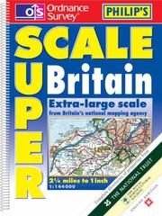
Philip's Ordnance Survey Superscale Britain (Road Atlas)
2003
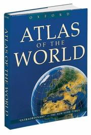
Atlas of the World (Atlas of the World, 8th ed.)
2000
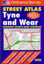
Tyne & Wear (Ordnance Survey street atlases)
1999
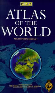
Philip's Atlas of the World (World Atlas)
1999

Edinburgh and East Central Scotland Street Atlas
1999

Derbyshire (Ordnance Survey Street Atlases)
1999
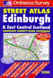
Edinburgh & East Central Scotland (Ordnance Survey Street Atlases)
1999

Staffordshire (Ordnance Survey street atlases)
1999
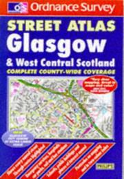
Glasgow & West Central Scotland (Ordnance Survey Street Atlases)
1999
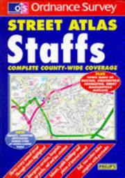
Staffordshire Street Atlas
1998
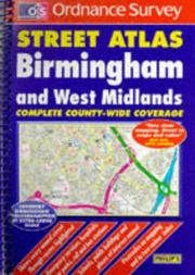
Birmingham and West Midlands Street Atlas
1998

Oxfordshire Street Atlas
1998
South Hampshire Street Atlas
1998

Pocket World Atlas
1996

West Yorkshire Street Atlas (OS / Philip's Street Atlases)
1996

Philip's great world atlas
1987

Phillips' small world atlas
1985

The comprehensive atlas of Canada and the world
1983
Philips' World atlas
1979
National atlas
1977

Philips' modern home atlas
1973
The university atlas
1972

China in maps
1968

The peoples' atlas
1920
Philips' Historical Readers

Philips' pictorial pocket atlas and gazetteer
Philips' chamber of commerce atlas
Encyclopedic World Atlas

Concise atlas of the world
Philip's Moon map

Philip's geography dictionary
Atlas of the world

New Concise World Atlas

Philip's world atlas

Philips' Road atlas Europe
Philip's Certificate Atlas for the Caribbean (Atlas)
1998
Philip's atlas of the world
1992
Philip's road atlas Britain
1991
Philip's Road Atlas of Europe
1990
Philip's road atlas southern England
1990
Philip's Spain & Portugal: 16 miles to 1 inch, 1:1,000,000 (Philip's road maps of Europe)
1990
Philip's Austria & Switzerland: 16 miles to 1 inch, 1:1,000,000 (Philip's road maps of Europe)
1990
Philip's Road Map of Paris Streets (Europe)
1990
RAC Greece, Crete, Corfu, Rhodes, 1:1,000,000 road map =
1986
RAC Germany and the Netherlands 1:1,000,000 road map
1986
Stanford's map of the world
1985
The Kenya primary atlas
1982
Philips' certificate atlas for Eastern Africa
1982
Surrey street atlas
1980
Philips' New reference atlas
1980
Philips' universal atlas
1979
Philips' Certificate atlas for secondary schools
1979
Ventures large print atlas for Zimbabwe
1979
Philips' New World atlas
1978
Atlas général Larousse
1978
East African modern school atlas
1977
Alpine countries
1976
Philip's Universal atlas
1976
Philips' College atlas for Southern Africa
1976
Europe
1976
Philip's concise world atlas
1976
Philips' Middle school atlas
1974
The library atlas
1973
World atlas of shipping
1972
Philip se kollege atlas vir Suidelike Afrika, bewerk deur Harold Fullard;
1971
Shell road atlas, Great Britain
1971
Around the world
1969
Philips' pocket atlas of the world
1968
Philip's school atlas for East Africa
1967
Record atlas
1967
Philips' junior atlas for Canada
1963
Handy gazetteer of the world
1952
Regimental badges and service caps
1941
Map making by modern methods
1924
Philips' new imperial atlas
1922
Philips' handy administrative atlas of Ireland
1912
Philips' systematic atlas
1894
The geography and history of the counties of England
1874
Atlas d'aujourd'hui
The international atlas
Serial map service atlas
The Royal Geographical Society atlas of the world
Aldine university atlas
The Geographical digest
Philip's Surrey street atlas
Surrey, county street atlas
County street atlas Herts
Philip's navigator road atlas Britain
The Wills South Coast yachting guide
Philip's national map of the British Isles
London at a glance
Philips' handy administrative atlas of England and Wales
Philips' primary atlas