John Bartholomew
1831 – 1893
27 works on record
Works

Handy reference atlas of the world
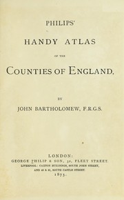
Philips' Handy Atlas of the Counties of England
Atlas of the world
Philips' 19th century county atlas of Ireland
The library reference atlas of the world
Philip's handy atlas of the counties of Ireland
Elementary school atlas
Gazetteer of the British Isles
Pocket guide to Edinburgh and neighbourhood
Philip's new map of Middlesex with portions of the adjoining counties from the Ordnance Survey
The advanced atlas
Pocket atlas of Scotland
Zell's descriptive hand atlas of the world
Pocket atlas of England & Wales
The British colonial pocket atlas
The pocket atlas of the world
Philip's handy atlas of the counties of Scotland
The elements of conveyancing
Gazeteer of the British Isles, statistical and topographical
The student's atlas, consisting of forty-four maps of modern geography, [embracing all the latest discoveries and changes in boundaries;]
The citizen's atlas of the world
Philips' handy atlas of the counties of Scotland
The English lake district
The student's atlas, consisting of thirty-two maps of modern geography, embracing all the latest discoveries and changes in boundaries, and six maps of ancient and historical geography
The portable atlas...
Philips' handy atlas of the counties of Ireland
Pocket atlas of Ireland