Bartholomew, J. G.
1860 – 1920
51 works on record
Works

The Oxford advanced atlas
1931

Bartholomew's survey gazetteer of the British Isles
1927
An atlas of economic geography
1914

A literary & historical atlas of Africa and Australasia
1913
A literary & historical atlas of Asia
1912

Atlas of zoogeography
1911
The graphic atlas of the world
1910
A literary & historical atlas of Europe
1910
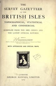
The survey gazetteer of the British Isles, topographical, statistical and commercial
1904
A literary and historical atlas of America
1900
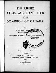
The pocket atlas and gazetteer of the Dominion of Canada
1890

The library reference atlas of the world
1890

The citizen's atlas of the world
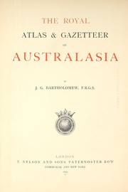
The royal atlas & gazetteer of Australasia

Nelson's world gazetteer and geographical dictionary
Reference atlas of greater London
1968
Gazetteer of the British Isles, incorporating a summary of the 1961 census
1963
Reference atlas of Greater London, covering the whole metropolitan police area, with larger scale maps for Central London and index for quick location of over 59,000 names
1961
The survey gazetteer of the British Isles, including summary of 1951 census
1956
The comparative atlas of physical and political geography
1955
Reference atlas of Greater London, covering the whole metropolitan police area, with larger scale maps for Central London and index for quick location of over 51,000 names
1954
The handy reference atlas of the world
1954
The Oxford economic atlas
1925
Bartholomew's handy reference atlas of London
1925
Bartholomew's handy touring atlas of the British Isles, specially prepared for cyclists, motorists & travellers
1923
The advanced atlas of physical and political geography
1917
Survey gazetteer of the British Isles
1914
The xxth century citizen's atlas of the world
1912
The international reference atlas of the world
1910
A school economic atlas
1910
The handy touring atlas of the British Isles
1909
Cassell's atlas, containing a complete series of maps of the world, and a full index of geographical names
1909
Atlas of the world's commerce
1907
The survey atlas of England and Wales
1903
Central [and] South Africa
1900
Atlas of meteorology
1899
The pocket tourist's atlas of Scotland, with descriptive gazetteer
1893
The Royal Canadian world-atlas
1890
The pocket atlas and guide to London
1890
Atlas of commercial geography illustrating the general facts of physical, political, economic and statistical geography, on which international commerce depends
1889
Topographical and physical map of Palestine
1880
The tourist's atlas-guide to the continent of Europe
1875
Chronological map of Edinburgh
Elementary school atlas
The pocket gazetteer of the world
Handy reference atlas of the world
A literary and historical atlas of Europe
A new topographical, physical, and Biblical map of Palestine
The Times survey atlas of the world
The survey gazetteer of the British Isles
Constable's hand atlas of India